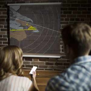
Interactive map displaying Hurricane Maria's projected path through the Caribbean. Features detailed weather information, including potential impact zones, alerts, and current wind ranges. Utilizes a color-coded system for easy understanding. Depicts close-up view of storm's trajectory.
PromptInteractive map displaying Hurricane Maria's projected path through the Caribbean. Features detailed weather information, including potential impact zones, alerts, and current wind ranges. Utilizes a color-coded system for easy understanding. Depicts close-up view of storm's trajectory.
Raster imageAspect ratio: 1:1
ModelRecraft V3
Get Recraft app for free
Or try all features on desktop
Or try all features on desktop
Create your first image in Recraft
+ Create