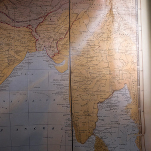
Historical map showcasing British Malaya and Singapore in the late 19th century, highlighting the boundaries of protected states and British territories.
PromptHistorical map showcasing British Malaya and Singapore in the late 19th century, highlighting the boundaries of protected states and British territories.
Raster imageAspect ratio: 1:1
ModelRecraft V3
Get Recraft app for free
Or try all features on desktop
Or try all features on desktop
Create your first image in Recraft
+ Create